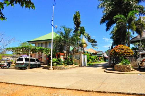
 Baker's Hill is a famous hang out place in Palawan, known for their freshly baked goodies like hopia, munchies and crinkles. It is located on top of a...
It is the 10th largest island in the country, located in the heart of the Visayas. To the west of Bohol is Cebu, to the northeast is the island of Leyte and to the south, across the Bohol Sea is Mindanao.
Bohol is a popular tourist destination with its beaches and resorts. The Chocolate Hills, numerous mounds of limestone formation, is the most popular attraction. The island of Panglao, located just southwest of Tagbilaran City, is home to some of the finest beaches in the country. The Philippine Tarsier, considered by some to be the smallest primate, is indigenous to the island.
Boholanos refer to their island homeland as the 'Republic of Bohol' with both conviction and pride. A narrow strait separates the island of Cebu and Bohol and both share a common language, but the Boholanos retain a conscious distinction from the Cebuanos.
Hills dominate the island of Bohol. Two ranges run roughly parallel on the northwest and the southeast. An interior plateau is dominated by limestone hills. In Carmen, Batuan and Sagbayan, these hills form near perfect cones in great numbers and are collectively referred to as the Chocolate Hills.
Bohol's climate is generally dry, with maximum rainfall between the months of June and October. The interior is cooler than the coast.
Bohol is the home province of Carlos P. Garcia, the fourth president of the Republic of the Philippines (1957-1961) who was born in Talibon, Bohol.
History
Early history
The people of Bohol are said to be the descendants of the last group of inhabitants who settled in the Philippines called pintados or “tattooed ones.†Boholanos already had a culture of their own as evidenced by the artifacts dug at Mansasa, Tagbilaran, and in Dauis and Panglao.
Bohol is derived from the word Bo-ho or Bo-ol. The island was the seat of the first international treaty of peace and unity between the native king Datu Sikatuna, and Spanish conquistador, Miguel López de Legazpi, on March 16, 1565 through a blood compact alliance known today by many Filipinos as the Sandugo.
Congressional Districts
1st district
* City: Tagbilaran City
* Municipality: Alburquerque, Antequera, Baclayon, Balilihan, Calape, Catigbian,
Corella, Cortes, Dauis, Loon, Maribojoc, Panglao, Sikatuna, Tubigon
* Population (2000): 356,878
2nd district
* City: none
* Municipality: Bien Unido, Buenavista, Clarin, Dagohoy, Danao, Inabanga, Jetafe,
Pres. Carlos P. Garcia, Sagbayan, San Isidro, San Miguel, Talibon, Trinidad, Ubay
* Population (2000): 376,507
3rd district
* City: none
* Municipality: Alicia, Anda, Batuan, Bilar, Candijay, Carmen, Dimiao, Duero,
Garcia Hernandez, Guindulman, Jagna, Lila, Loay, Loboc, Mabini, Pilar, Sevilla,
Sierra Bullones, Valencia
Geography
The Island of Bohol is oval-shaped mainland surrounded with 73 smaller islands, having a gently rolling terrain, ideal for commercial and industrial site development. Bohol's mountainous interior is home to rare and endangered flora and fauna. At certain points, hills drop steeply to the coast from a maximum elevation of 870 meters above sea level. The interior uplands are fit for agro-forestry and high value agricultural production. The central and northern lowlands have also fertile grounds and abundant water supply. Over a hundred caves have been identified, the biggest of which is found in the eastern part which makes Bohol ideal for spelunking adventures.[17] The Chocolate Hills in Carmen, Bohol are considered one of Philippine's natural wonders and Bohol is often referred to as the Jewel of the Philippines. They are hills made of limestone leftover from coral reefs during the ice age when the island was submerged. They turn brown during the summer, hence their name.
Most beaches are of white sand. The sand is often of such high quality that it is exported to other beaches in the world. The most well known of these beaches are in Panglao Island, and there, numerous islets have similar, yet untouched and pristine beaches.
The Loboc River is the most famous, running from the southeastern coast to the center of the island. It is famous for its River Cruise going up to its water source. The largest, Inabanga River, runs in the northern part of the province.
Numerous waterfalls and caves are scattered across the island, including the beautiful Mag-Aso falls in Antequera. Mag-Aso means smoke in the native tongue. The water is cool and often creates a mist in humid mornings which can hide the falls.
Panglao is a small island southwest of the main island, connected by a causeway to Tagbilaran.
Location
Bohol is an island province in the Visayas. It lies southeast from Cebu across Bohol Strait and southwest from Leyte, separated by the Camotes Sea and Canigao Channel. Bohol is also located north of Mindanao with Bohol Sea between them. With a land area of 4117.3 km² and a coastline 261 km long, Bohol is the tenth largest island of the Philippines. The main island is surrounded by about 70 smaller islands, the largest of which are Panglao Island facing Tagbilaran City in the southwest and Lapinig Island in the northeast.
The terrain of Bohol is basically rolling and hilly and about half the island is covered in limestone. Near the outer areas of the island are low mountain ranges. The interior is a large plateau with irregular landforms.
Near Carmen can be found the major tourist draw of the province, the Chocolate Hills. The more than 1,200 uniformly cone-shaped limestone hills were named that way because in the summer, the grass growing on the hills turn brown, making the landscape look like it had chocolate mounds all over. The Chocolate Hills is found on the provincial seal of Bohol.
Panglao is famous for its diving locations and routinely listed as one of the top ten diving locations in the world. Numerous tourist resorts dot the southern beaches and cater to divers from around the world.
Â
Climate
Unlike Luzon and the northern part of Visayas, Bohol is mostly unaffected by the numerous typhoons that hit the country. The weather is mostly mild all year round. When typhoons do hit the island, they usually cross quickly and are no longer powerful, their energy dissipated by the mountains in Leyte and Samar.
From November to April, the northeast monsoon (amihan) prevails. Except for a rare shower, this is the mildest time of the year. Daytime temperatures average 28°C, cooling down at night to around 25°C. The summer season from May to July brings higher temperatures and very humid days. From August to October is the southwest monsoon (habagat). The weather during this season is not very predictable, with weeks of calm weather alternating with rainy days. It can rain any day of the year, but you will have more chance for a heavy shower from November to January.
Â
Source:
Baker's Hill is a famous hang out place in Palawan, known for their freshly baked goodies like hopia, munchies and crinkles. It is located on top of a...
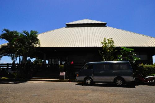 Mitra Ranch, in Sta Monica Heights, is owned by the late Philippine Senator Ramon Mitra. Today it is the residence of Baham Mitra, son and heir of the...
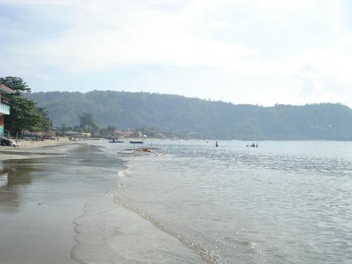 Bart's Beach is located in Olongapo.